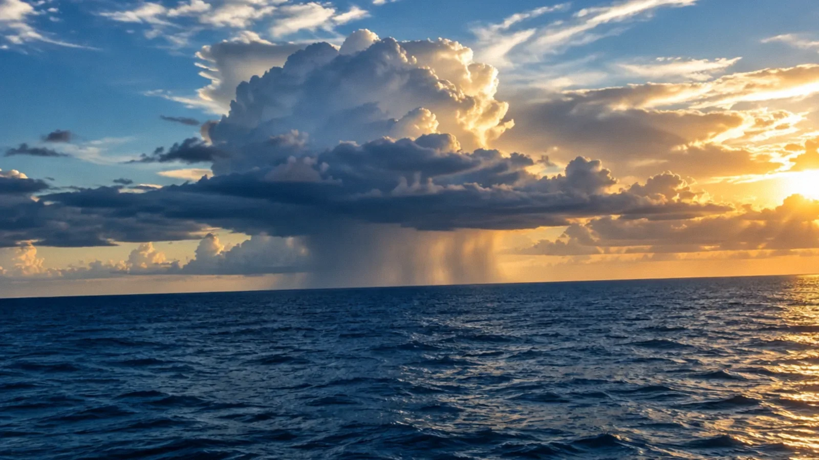
Hurricanes begin over tropical or subtropical ocean water when a disturbance organizes under favorable conditions. Warm water supplies energy, rising moist air forms thunderstorms, and Earth’s rotation helps organize circulation away from the equator. Low wind shear and other conditions also matter; many disturbances never become hurricanes.
The starting point: a tropical disturbance
A hurricane often begins as a disturbance such as a tropical wave, an area of lower pressure accompanied by showers and thunderstorms. NOAA explains that these systems can move across warm tropical waters and sometimes become more organized. A disturbance is not automatically a tropical storm or a future hurricane.
Development depends on several conditions occurring together. The atmosphere must support persistent thunderstorms and an organized circulation, while the ocean must provide sufficient heat and moisture. Forecasters monitor the system as it evolves because a favorable environment does not guarantee a particular outcome.
Warm water supplies energy
Warm ocean water helps transfer heat and moisture into the air above it. As moist air rises and water vapor condenses into cloud droplets, heat is released into the atmosphere. That process can help sustain thunderstorms and lower pressure near the center of a developing system.
NOAA often describes water around 80°F, or 26.5°C, as a useful approximate condition, together with sufficient warm water depth. It is not an absolute switch: warm water alone cannot create a hurricane, and the atmosphere, surrounding air and storm structure matter as well.
Why rotation and location matter
Air moving toward a developing low-pressure area is influenced by Earth’s rotation, helping a broad circulation organize. NOAA notes that tropical cyclones generally need to form some distance from the equator, where this rotational effect is too weak to support typical development.
In the Northern Hemisphere the circulation around a tropical cyclone is generally counterclockwise; in the Southern Hemisphere it is generally clockwise. The rotation is part of a large weather system, not the same explanation as the motion of water in a household drain.
Wind shear can disrupt a storm
Wind shear is a change in wind speed or direction with height. Strong vertical wind shear can tilt or disrupt a developing system, separating thunderstorms from the low-level center. Lower shear can allow the circulation and thunderstorms to remain more vertically aligned.
Other factors include moisture in the middle atmosphere and an environment that supports rising air. Dry air or unfavorable winds can weaken or prevent development even over warm water. NOAA monitors these ingredients together rather than predicting a hurricane from sea temperature alone.
From disturbance to hurricane
A tropical disturbance can become a tropical depression when it develops a sufficiently organized closed circulation and meets the relevant wind criteria. A tropical storm has maximum sustained winds of at least 39 mph; in the Atlantic and eastern North Pacific, a system reaches hurricane strength at 74 mph sustained winds.
These categories describe wind speed, not the full extent of rain, storm surge or flooding. A system can produce dangerous impacts before it reaches hurricane strength, after it weakens or far from its center. Follow current official forecasts for the actual hazard and location.
Where and when hurricanes form
Tropical cyclones form over warm tropical and subtropical ocean regions. The same general kind of storm is called a hurricane in the Atlantic and eastern North Pacific, and a typhoon in the western North Pacific. Names and seasonal patterns vary by ocean basin.
Many Atlantic systems begin as disturbances moving westward from the tropical Atlantic region, but not all follow that path. Storms can develop at different times and locations when conditions are favorable. Official seasonal dates describe when activity is most common; a storm can occur outside those dates.
Why storms often weaken over land
A hurricane draws energy from warm ocean water. Once its circulation moves over land or cooler water, that source is reduced and friction can disrupt the storm. Wind shear and dry air can also weaken a system. The rate of weakening depends on the storm and its environment.
Weakening winds do not mean the danger is over. Heavy rain can continue inland and cause flooding; storm surge and hazardous surf may persist near the coast. Tornadoes can also occur in the broader storm environment. Follow evacuation and shelter instructions until officials say the threat has passed.
Use the science to prepare, not to predict locally
A satellite image or a water-temperature number cannot tell you when your neighborhood will flood. Consult forecasts and warnings from the National Hurricane Center, National Weather Service and local emergency management. Read the expected timing, location and recommended action for each hazard.
Prepare an evacuation and communication plan before a storm threatens. Never drive through floodwater. After the event, stay away from damaged structures and downed wires, and assess electrical hazards before entering a flooded building.
Ten facts about hurricanes
These facts describe the storms and their hazards; use current official forecasts for decisions about a particular event.
- A hurricane is a type of tropical cyclone with a closed circulation.
- Warm ocean water supplies energy to a developing storm.
- A tropical cyclone becomes a hurricane at 74 mph maximum sustained wind.
- The eye is the center of the storm, surrounded by the eyewall.
- Rainbands can extend far from the storm center.
- Strong vertical wind shear can disrupt development.
- Hurricanes rotate counterclockwise in the Northern Hemisphere.
- The Saffir–Simpson scale describes maximum sustained wind, not rainfall.
- Storm surge and inland flooding can be dangerous beyond the area of strongest winds.
- The Atlantic hurricane season runs from June 1 to November 30, although storms can form outside it.
Your next-step checklist
- Monitor official forecasts and local alerts.
- Understand that warm water alone does not guarantee development.
- Prepare for rain, wind, surge and flooding, not just the wind category.
- Follow evacuation instructions.
- Never walk or drive through floodwater.
Related questions
Where do hurricanes form?
They develop over tropical or subtropical oceans when atmospheric and ocean conditions allow a rotating system to organize.
What water temperature helps hurricanes form?
NOAA often uses about 80°F or 26.5°C as an approximate condition, but warm water alone is not enough.
When does a tropical storm become a hurricane?
In the Atlantic and eastern North Pacific, the hurricane threshold is maximum sustained winds of 74 mph.
Can a weakening hurricane still flood inland areas?
Yes. Heavy rain and flooding can remain dangerous after winds weaken and far from the coast.
What is a hurricane made of?
A hurricane is an organized tropical cyclone with rotating winds, clouds and thunderstorms. Its eye, eyewall and rainbands are parts of the storm, while warm ocean water supplies energy.
Sources & context
Public guidance supports the principles in this article. The practical questions and examples are editorial interpretation, not a site assessment or a coverage decision. State-specific rules apply only where identified.
- NOAA: How hurricanes formofficial weather science
- NOAA: Hurricanesofficial weather science
- NOAA: How does a hurricane form?official weather science
- National Weather Service: Flood safetyofficial weather safety guidance