A derecho is a widespread, long-lived windstorm associated with a fast-moving line or complex of thunderstorms. It can cause damaging straight-line wind over a long distance. Seek sturdy shelter when severe thunderstorm or tornado warnings apply; do not wait for officials to label an event a derecho.
The meaning of derecho
A derecho is a widespread and usually fast-moving windstorm associated with thunderstorms. The name is used for an event that produces a broad, extended swath of damaging wind, not for every strong gust or individual thunderstorm. National Weather Service descriptions emphasize its long duration and distance.
Meteorologists may classify an event using reports collected across the damage path. A local severe thunderstorm can be dangerous whether or not the larger event ultimately meets the technical definition. Pay attention to the warning for your location and the protective action it recommends.
How far can the damage extend?
The National Weather Service describes a derecho as a long-lived storm complex with a path of damaging wind extending roughly 240 miles or more. Some technical criteria use additional measures of the distribution and timing of wind reports. Different summaries express the threshold with slightly different rounding.
The wind will not be equally strong everywhere along that path. Trees, power lines, roofs and other structures may be damaged in some places while nearby locations experience less severe effects. Local geography and the storm’s changing structure affect the hazards at each address.
Straight-line winds are broader than derechos
Straight-line winds are non-tornadic thunderstorm winds that can result from a downburst or other storm processes. A derecho is a particular widespread, long-lived windstorm, so not every straight-line wind event is a derecho. A local downburst can still cause serious damage even when it does not meet derecho criteria.
Damage patterns alone may be difficult to interpret without a qualified survey. Do not approach a storm or attempt to distinguish wind types in real time; follow the local warning and shelter in a sturdy building away from windows.
Straight-line winds and downbursts
A derecho is associated primarily with damaging straight-line winds, often produced by powerful thunderstorm downdrafts and downbursts. These winds can move across a large area and may reach hurricane force in stronger portions of an event. The term describes the kind and extent of wind damage rather than a rotating eye.
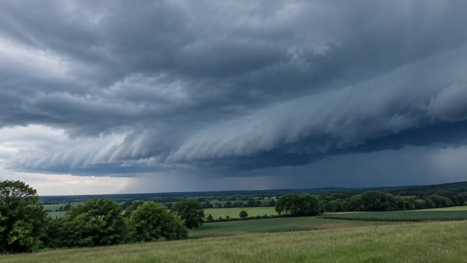
A thunderstorm line may appear bowed on radar, but not every bow-shaped line becomes a derecho. The absence of a specific visual shape in a public image should not be used to judge whether it is safe to remain outside. Use official warnings and local conditions.
Derecho versus tornado
A tornado is a rotating column of air connected to a thunderstorm and in contact with the ground. Derecho damage is chiefly associated with broad straight-line wind. Both can break trees, damage buildings and create dangerous flying debris.
A line of storms that produces derecho conditions can also produce tornadoes. If a tornado warning is issued, move immediately to the appropriate shelter rather than assuming all wind in the storm is straight-line wind. A damage survey after an event may be needed to identify the cause.
Watch and warning decisions
A severe thunderstorm watch means conditions are favorable for severe thunderstorms in and near the watch area. A warning means severe weather has been observed or indicated and protective action is needed for the warned area. Follow the exact message from the National Weather Service and local authorities.
A tornado warning calls for immediate shelter in a small interior room on the lowest level of a sturdy building, away from windows, following official local guidance. Have more than one way to receive alerts, especially if power or mobile service is interrupted.
Where to shelter
When damaging wind threatens, move inside a sturdy building and stay away from windows. Avoid outdoor shelters, trees and exposed locations. If you are in a mobile home or another vulnerable structure, follow your local emergency plan and move to more substantial shelter before conditions become dangerous.
Do not go outdoors to photograph an approaching storm. Bring people and pets inside early and stay sheltered until the immediate threat has passed and officials indicate it is safe. Conditions can deteriorate faster than expected.
After damaging winds
Stay clear of fallen power lines and anything they contact. Treat damaged buildings, broken glass and unstable trees as hazards. Report emergencies to local responders, and do not enter a structure with significant damage until qualified authorities say it is safe.
If rain has entered through a damaged roof or window, avoid standing water near electrical equipment. Document damage from a safe position and contact the insurer or property manager. A temporary cover should be installed only when conditions and access are safe.
Preparing before storm season
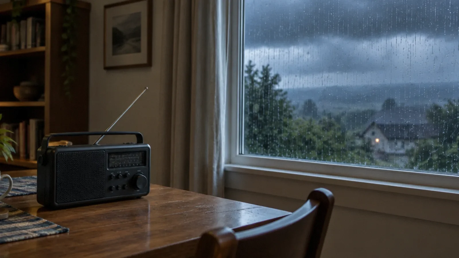
Review household shelter options, charge essential devices and maintain a supply of water, medications and flashlights. Keep a weather radio or another reliable alert source available. Secure outdoor items when there is sufficient time and conditions are still safe.
Do not rely on the term derecho appearing in a forecast before acting. Severe thunderstorm and tornado warnings communicate the immediate threat. Follow local emergency instructions and adjust plans for people who need assistance reaching shelter.
Your next-step checklist
- Enable severe weather alerts for your location.
- Choose sturdy shelter away from windows.
- Move indoors before damaging winds arrive.
- Treat fallen wires and unstable trees as dangerous.
- Document property damage only when it is safe.
Related questions
Is a derecho a tornado?
No. A derecho is associated mainly with widespread straight-line winds, although storms in the same system can also produce tornadoes.
Can a derecho have hurricane-force winds?
Yes. Some gusts can reach or exceed hurricane force, but a derecho is not a hurricane.
Should I wait for a derecho warning?
No. Follow severe thunderstorm and tornado watches and warnings issued for your location.
Can a derecho cause flooding?
The associated thunderstorms may produce heavy rain and flooding as well as damaging wind; check local flood alerts.
What are straight-line winds?
Straight-line winds are damaging winds that do not involve the rotation characteristic of a tornado. A downburst can produce them; not every straight-line wind event is a derecho.
Sources & context
Public guidance supports the principles in this article. The practical questions and examples are editorial interpretation, not a site assessment or a coverage decision. State-specific rules apply only where identified.
- National Weather Service: Derechofederal weather guidance
- National Weather Service: The 2012 derechofederal weather guidance
- National Weather Service: Tornado safetyfederal safety guidance
- National Weather Service: Thunderstorm winds and derechosfederal weather guidance