A tropical storm has maximum sustained winds of 39–73 mph. A hurricane begins at 74 mph and is assigned Category 1 through 5 using maximum sustained wind speed. The category does not measure storm surge, flooding rainfall or tornadoes, so a lower-category storm can still be deadly.
Tropical cyclone, tropical storm and hurricane
A tropical cyclone is a rotating, organized weather system that forms over tropical or subtropical waters. Tropical depression, tropical storm and hurricane describe stages defined in part by sustained wind speed. These names do not describe the full extent of the rainfall or coastal flooding a system can produce.
A tropical depression has maximum sustained winds below 39 mph. A tropical storm ranges from 39 through 73 mph; a hurricane has sustained winds of at least 74 mph. A system may strengthen or weaken during its life, so follow current advisories rather than relying on an earlier label.
The five hurricane wind categories
The National Hurricane Center uses the Saffir-Simpson Hurricane Wind Scale: Category 1 is 74–95 mph; Category 2 is 96–110 mph; Category 3 is 111–129 mph; Category 4 is 130–156 mph; and Category 5 is 157 mph or higher. These ranges describe maximum sustained winds, not a forecast for every location in the storm.
Categories 3, 4 and 5 are called major hurricanes because of their potential for devastating wind damage. The official scale has five categories. A claim about a higher numbered category is not part of the current National Hurricane Center scale.
What sustained wind means
The scale uses a storm’s maximum sustained surface wind, conventionally the peak one-minute average at a standard observation height. Gusts are shorter bursts and can be stronger than that average. Actual winds vary with location, terrain, exposure and changes in the storm.
Wind speed in an official advisory is not a promise that every house will experience the same force. Even outside the area with the strongest winds, falling trees, flying debris and power outages can cause injuries and damage. Check local warnings for the specific places where you live or travel.
Why category does not tell the whole story
The hurricane wind scale is based on wind alone. It does not rate storm surge, rainfall flooding or tornadoes. A large storm or a slowly moving storm can produce serious impacts far from its center, and heavy rain can create dangerous flooding inland.
Tropical storms and hurricanes of every category can cause life-threatening water hazards. Do not wait for a system to become a major hurricane before considering evacuation, protecting essential documents or preparing for a power outage. Follow directions from local emergency officials.
Storm surge and inland flooding
Storm surge is an abnormal rise in water pushed toward the coast by a storm. The depth and timing at a particular location depend on many factors, including the storm’s track, size, speed, local coastline and tides. A wind category alone cannot tell you whether your street will flood.
Intense rainfall can also overwhelm drainage and cause rivers or small streams to rise well inland. Never drive through flooded roads; water may be deeper or faster than it appears and pavement can be damaged beneath it. Use local evacuation maps and official flood alerts.
Does pressure determine the category?
Atmospheric pressure is important to meteorologists studying storm structure and intensity, but the Saffir-Simpson category is determined by maximum sustained wind, not by a fixed pressure threshold. Two storms with similar wind categories can have different pressure readings, sizes and hazards.
Similarly, category is not a direct measure of the expected number of inches of rain at a particular address. Read the forecast discussion, rainfall outlook, surge information and local warnings together with the category. Those products answer different questions.
What to do before a storm approaches
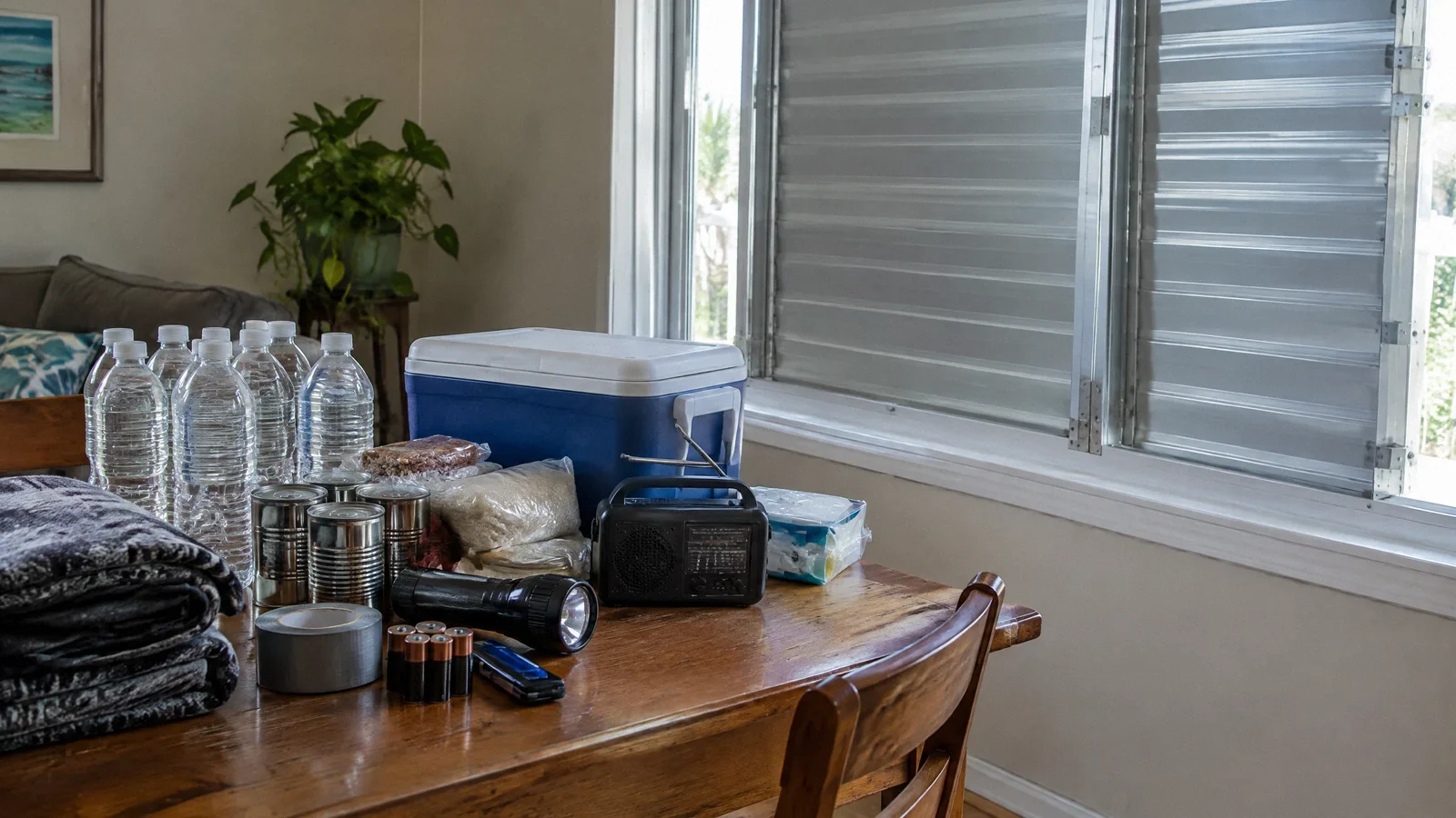
Know whether your address is in a local evacuation zone and plan where you will go if officials issue an order. Prepare a supply kit, medications, copies of important documents and a way to receive alerts during a power outage. Bring loose outdoor items inside when conditions are still safe.
Follow building guidance and move away from threatened windows or flood-prone areas as directed locally. A forecast track can change, and hazards extend outside the line shown on a map. Make decisions early enough to avoid traveling when winds and water make roads unsafe.
After the storm passes
Avoid downed wires, unstable trees, damaged structures and standing water that may conceal electrical or sewage hazards. Return to an evacuated area only when officials say it is safe. Use generators outdoors and far from doors, windows and vents in accordance with current manufacturer and public health guidance.
Document damage when it is safe, notify your insurer if applicable and arrange qualified help for electrical problems or contaminated water. Continue monitoring local notices: flooding, power interruptions and road closures can persist after the storm has weakened.
Window pressure and wind speed
A window’s design pressure is a pressure rating for a specific assembly and installation; a wind gust is a measured air speed. They are not interchangeable numbers. Actual pressure depends on exposure, location on the building and other design conditions. Debris impact, frame attachment, condition and prior damage also matter, so there is no universal gust speed at which all windows fail. Follow local warnings and stay away from windows during the storm.
Your next-step checklist
- Check current local alerts and evacuation zones.
- Read wind, rainfall and storm surge forecasts separately.
- Prepare supplies before travel becomes unsafe.
- Avoid flooded roads and downed power lines.
- Wait for local clearance before returning.
Related questions
At what wind speed does a tropical storm become a hurricane?
At 74 mph maximum sustained wind under National Hurricane Center definitions.
Is a Category 1 hurricane safe?
No. Any category can bring dangerous wind, storm surge, heavy rain and flooding.
Is there an official Category 6?
No. The current Saffir-Simpson Hurricane Wind Scale has five categories.
Does the category measure rainfall?
No. It measures maximum sustained wind; rainfall and flooding are assessed separately.
What safety steps should I take for a hurricane?
Follow local warnings and evacuation orders, prepare supplies early, avoid flooded roads and stay away from downed power lines.
How strong is a Category 3 hurricane?
The National Weather Service defines Category 3 as maximum sustained winds of 111–129 mph. The wind category does not measure storm surge, rainfall or flooding.
How fast must wind be to break a window?
There is no single speed: window design, installation, condition, pressure, debris and storm characteristics all matter. Follow local warnings, stay away from windows and do not test a window during a storm.
Sources & context
Public guidance supports the principles in this article. The practical questions and examples are editorial interpretation, not a site assessment or a coverage decision. State-specific rules apply only where identified.
- National Hurricane Center: Saffir-Simpson Hurricane Wind Scalefederal weather guidance
- National Hurricane Center: Tropical cyclone hazardsfederal weather guidance
- National Weather Service: Turn Around Don’t Drownfederal safety guidance
- Primary guidance: www.weather.govprimary guidance
- Primary guidance: www.fema.govprimary guidance