A hurricane’s wind category and forecast track do not describe every hazard or every place affected. Storm surge, rain flooding, tornadoes, and dangerous winds can extend far from the center. Follow current local forecasts and evacuation orders, and prepare before hazardous conditions arrive.
Myth: A low category means little danger
The Saffir-Simpson Hurricane Wind Scale groups hurricanes by maximum sustained wind speed. It does not rate storm surge or rainfall flooding. A lower-category hurricane or a tropical storm can still produce deadly water, damaging winds, and extended power outages. The size, forward speed, rainfall pattern, coastline, and local terrain all affect impacts.
Use the category as one piece of information, not a complete risk score. Check local wind, rainfall, flood, and surge forecasts separately. A storm that weakens before landfall can still be dangerous because water and rain hazards do not disappear when its wind category falls.
Myth: The forecast cone shows the entire dangerous area
The forecast cone represents the probable path of the storm’s center, based on historical forecast errors. It is not the width of the storm, a boundary around damaging winds, or a map of all flooding. Conditions can be hazardous far outside the cone and well before the center arrives. Conversely, a line through a location does not mean the center will pass directly over it.
Look at local watches, warnings, and impact forecasts rather than following only the center line. Check updates from the National Hurricane Center, the National Weather Service office serving your area, and local emergency management. Forecasts change; compare the issue time and the area covered before forwarding an old graphic.
Myth: Only people on the coast need to prepare
Storm surge is an abnormal rise in water caused by a storm. Surge combined with the tide can inundate low coastal areas, and local geography can carry water inland. The distance from the beach alone is not a reliable measure of safety. Know whether your address is in a local evacuation zone and follow instructions for that zone.
Heavy rain can also cause flash flooding and river flooding far from the coast. Flooding may continue or worsen after the storm center passes, and roads can become impassable before water reaches a home. Inland residents should check flood alerts, plan routes, and have supplies and a way to receive warnings if power and internet service fail.
Myth: Opening windows equalizes pressure and saves the house
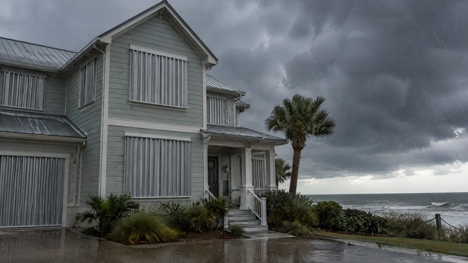
Opening windows is not a substitute for protecting openings. Wind and rain can enter through an opening and expose the interior to water and debris. Prepare windows and doors using protection appropriate to the building and local requirements before winds arrive. Once conditions are hazardous, stay inside a sturdy shelter away from windows rather than going outside to adjust coverings.
Do not wait until the strongest wind arrives to secure loose outdoor objects. Plan for shutters, doors, garage doors, and items in the yard early enough to finish safely. If an official orders evacuation, leave as directed instead of remaining to complete last-minute work.
Myth: The eye means the storm is over
Conditions can temporarily improve as the eye passes over a location. Strong winds can return from a different direction when the other side of the storm arrives. The eye may not pass over your location at all; a lull can also have another cause. Remain sheltered until local officials say it is safe to leave.
Keep a battery-powered or otherwise reliable way to receive alerts. Do not inspect a roof, approach downed lines, or drive through pooled water during a lull. Floodwater can conceal hazards and road damage, and moving water can sweep away a person or vehicle.
Myth: If water has receded, the cleanup is safe
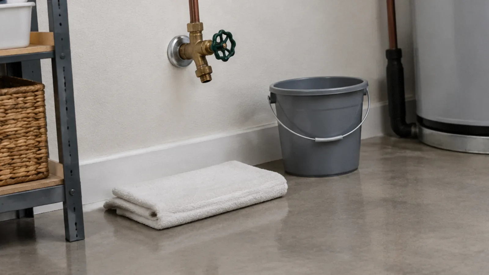
Floodwater can contain sewage, chemicals, and debris. Buildings may have hidden electrical, gas, or structural hazards even when rooms look dry. Return only when officials permit it and the building is safe to enter. Avoid downed power lines and leave if you smell gas; contact the appropriate emergency authority from a safe place.
Photograph damage when it is safe and contact your insurer. Arrange prompt drying and assessment of wet materials, but do not use household fans to spread dust from suspected contaminated material. Mold can grow in damp materials, so fixing the water source and drying are central to recovery. People with health concerns should consult a health professional before cleanup.
Turn forecast information into a plan
Before hurricane season, find your evacuation zone, plan more than one route, and decide where household members and pets will go. Prepare medications, water, important documents, charging supplies, and a way to receive official alerts. Consider transportation or accessibility needs early and check local shelter rules. A plan should work even if a preferred route is closed.
When a storm approaches, review the latest local instructions, secure the property only while conditions are safe, and leave when directed. Tell a trusted contact where you plan to go. Afterward, keep monitoring notices about roads, water, and power; the end of a warning for one hazard does not automatically mean that all hazards have ended.
Your next-step checklist
- Find your local evacuation zone and routes before a storm.
- Read local surge, rainfall, flood, wind, and tornado information separately.
- Prepare supplies and secure openings before dangerous weather.
- Evacuate when ordered and shelter through any lull.
- Wait for safe reentry instructions and document damage.
Related questions
Does the cone show where hurricane winds will occur?
No. It shows uncertainty around the forecast track of the center. Dangerous impacts can extend far outside it.
Can a tropical storm cause major flooding?
Yes. Tropical storms can produce life-threatening rain flooding and storm surge even without hurricane-strength winds.
Should I drive through a flooded road if the water seems shallow?
No. Depth, current, and damage beneath the water can be difficult to judge. Turn around and use a safe route.
Sources & context
Public guidance supports the principles in this article. The practical questions and examples are editorial interpretation, not a site assessment or a coverage decision. State-specific rules apply only where identified.
- Hurricane Preparednessgovernment
- Flood Related Hazardsgovernment
- Storm Surge Overviewgovernment