Flood stage is a water level at a particular gauge at which flooding begins to threaten lives, property or commerce. The threshold depends on the location and its reference datum; a number at one gauge cannot be directly treated as the threshold at another. Follow local forecasts and warnings.
River stage is a measured water level
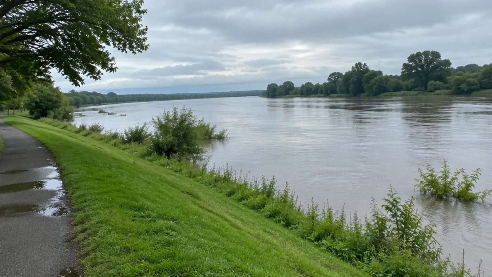
A river stage is the water-surface height reported at a specific gauge relative to a reference level, or datum. It is not automatically the depth of the river, the height above a road or the elevation of your home. Gauge descriptions and datums differ, so read the accompanying information.
The National Weather Service uses gauge observations and forecasts to communicate changing conditions at particular locations. A gauge reading is one piece of information; rainfall, local drainage and conditions between gauges can produce hazards not represented by that number.
What does flood stage mean?
The National Weather Service defines flood stage as an established gauge height for a given location above which rising water begins to create a hazard to lives, property or commerce. The number is set for that location and its impacts, not as a universal river height.
For example, a gauge might reach its local flood stage while another site with a different datum and river channel has a different threshold. Do not compare two raw readings without checking the gauge, datum and local impact descriptions.
Action, minor, moderate and major levels
An action stage can indicate a point at which agencies or partners begin preparing for possible high water. Minor, moderate and major flood categories describe increasing expected impacts at a location, but the exact thresholds and affected roads or structures differ by gauge.
Minor does not mean risk-free. Roads can flood and people can be threatened even when property damage is limited. Review the local gauge page and warnings for the specific impacts, and do not assume that a category alone describes conditions at your property.
Observed level versus forecast crest
An observed stage describes the gauge measurement at a given time; a forecast shows a predicted future level and may change with rainfall and updated information. A crest is the highest level in a rise. Check the issue time, forecast period and uncertainty rather than relying on a screenshot with no date.
A river can remain high after the crest, and another round of rain can change the outlook. Local officials may issue evacuation or road-closure instructions independently of a particular forecast value. Follow those instructions promptly.
Flood stage and flash flooding
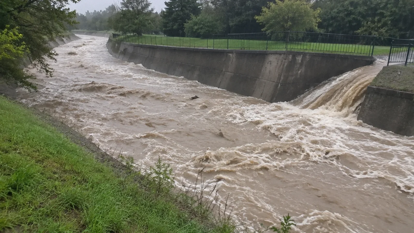
Flood stage is a location-specific gauge threshold. Flash flooding describes rapid dangerous water rise or flow and can happen on small streams, streets or drainage channels without a nearby river gauge showing the full local hazard. A low or distant gauge reading is not an all-clear.
The National Weather Service issues different watches and warnings for different conditions. Know how to receive local alerts and move to higher ground when directed. Never wait for a gauge to cross a threshold if water is already rising around you.
What to do when flooding threatens
Follow local emergency instructions and leave if ordered. Never drive around a barricade or walk or drive into floodwater; the road may be washed out and the current or depth may be hidden. Stay away from downed power lines and electrical equipment exposed to water.
If trapped, call 911 and follow the dispatcher’s directions. Do not enter a flooded basement or a closed attic without an escape route. Prepare supplies, medications and an evacuation plan before a warning rather than trying to interpret a gauge during an emergency.
Where to find reliable information
Use the National Weather Service forecast for the relevant gauge and local area, the local emergency management agency and official road-closure information. Confirm the gauge name, observation time, datum and reported impact thresholds. A screenshot or a social post may be stale or refer to another location.
The NWS hydrology glossary explains stage categories, while its local forecast offices provide location-specific information. A gauge record does not determine whether a particular insurance policy covers a loss. Ask the insurer about the policy separately.
After the river falls
Do not return to an evacuated area until officials permit it. A lower gauge level does not establish that roads, utilities or buildings are safe. Floodwater may leave sewage, chemicals, debris and concealed damage. Keep clear of unstable structures and damaged electrical systems.
Document damage when safe, contact the insurer or property manager, and arrange appropriate cleanup and drying. Retain records of the water source and affected materials; an individual inspection is needed to assess a building.
Gauge readings, mapping and alerts
A fixed streamgage records stage relative to a local datum, using instruments such as a pressure sensor; discharge is flow volume per time, estimated from stage and a site-specific relationship checked against field measurements. Observed stage describes measured conditions, whereas a forecast crest is a prediction that can change. Stage categories are set for each location and are not a universal scale for comparing risk across rivers. Flood maps depict modeled or designated inundation areas under stated assumptions, not a real-time guarantee that a particular street is safe. Never enter floodwater to measure its depth.
Areal flooding and coastal flooding
Areal means flooding across an area; it is sometimes misspelled aerial. It can develop more gradually than flash flooding, which can rise rapidly, although either can be dangerous. Coastal flooding can result from storm surge, high tides, waves and other local conditions. NWS uses a watch when hazardous flooding is possible, a warning when flooding is occurring or imminent, and an advisory for flooding that is not expected to reach warning criteria but can still cause inconvenience or risk. Read the local alert text for location, timing and instructions; do not treat the label as a substitute for evacuation orders.
Your next-step checklist
- Check the gauge location, datum and observation time.
- Read local impact descriptions and current warnings.
- Do not treat a minor category or a distant gauge as an all-clear.
- Never enter floodwater or bypass barricades.
- Return only when local officials say it is safe.
Related questions
What is flood stage?
It is a location-specific gauge height at which rising water begins to create a hazard to lives, property or commerce.
Is river stage the depth of the river?
Not necessarily. It is a water level relative to a gauge datum, which is not automatically the riverbed or your property’s elevation.
Does minor flood stage mean no danger?
No. Roads and low areas can flood and people can be threatened even if property damage is limited.
Can a flash flood happen away from a river gauge?
Yes. Rapid flooding can occur on smaller streams, streets and drainage channels, so follow local warnings and conditions.
What does an areal flood advisory mean?
“Areal” refers to a geographic area, not flooding from the air. The National Weather Service uses flood advisories for flooding that warrants awareness but is less urgent than a warning; even advisory-level flooding can be dangerous. Read the current local alert and never drive through flooded roads.
What does a coastal flood advisory mean?
A coastal flood advisory alerts the public to expected or occurring coastal flooding that warrants caution. Read the current local National Weather Service message for timing and affected areas; do not drive through flooded roads or assume advisory-level water is safe.
Sources & context
Public guidance supports the principles in this article. The practical questions and examples are editorial interpretation, not a site assessment or a coverage decision. State-specific rules apply only where identified.
- National Weather Service: River flooding questionsfederal hydrology guidance
- National Weather Service: Hydrology termsfederal hydrology guidance
- National Weather Service: Flood safetyfederal flood safety guidance
- National Weather Service: Flood watches, warnings and advisoriesfederal weather guidance
- NWS: Flood related productsfederal weather guidance
- USGS: What is a streamgage?federal science guidance